
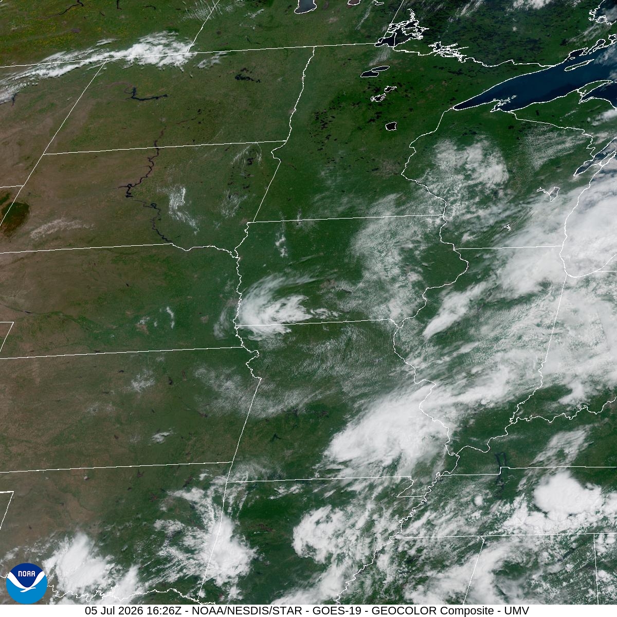
Not much to argue about this week: it was hot and it was dry. MSP hit 92° on June 29, the week's peak, then settled into a run of 83° to 90° days through the Fourth of July. Only two days saw real rain — 0.87 inches on June 28 and 0.86 inches on July 4 — with everything in between barely registering, including a bone-dry June 29 and a trace-level July 2. No records fell. If you had outdoor plans this week, you probably got to keep them, minus a couple of wet bookends.
The heat isn't done. Today tops out near 86° with just a 20% chance of a stray shower or storm after 1pm, and skies stay mostly sunny otherwise. Monday pushes back up to 88° under mostly sunny skies, with winds out of the south around 5 to 10 mph — useful if you're trying to dry anything out on a line or want a breeze at Normandale Lake.
Where it gets more interesting is Monday night into Tuesday. A 30% chance of storms moves in after 1am Monday, carries into Tuesday's 89° high with more shower and thunderstorm chances scattered through the day, and then ramps up further Tuesday night — a 50% chance of storms with a half to three-quarters of an inch of rain possible. That's a real rain day, not the token 10-20% chances we've been dodging. Anyone with evening plans at the parks or a late commute through the area Tuesday night should keep half an eye on the sky and build in some flexibility.
Nothing here points to airport delays or road trouble beyond typical summer storm caution — no severe weather flagged, just the standard advice to get indoors if thunder rolls in. For now, enjoy the sun while it's mostly sunny; the humidity and rain chances are due back by Tuesday.